Search Bar

The Search bar is at the top centre of the map.
It allows the user to search for data features in the map.
The user can search using various search terms such as:
- Roll number
- Physical address – rural or civic
- LINC number
- ATS reference
- LSD reference
- Plan Block Lot
- Subdivision name
- Point of Interest
Type the desired search term in the search bar and press enter. The map will zoom to the location. If there are multiple matches for the search a drop down will appear to let user to choose the correct entry.
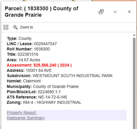
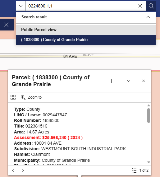
When searching for a parcel using the Roll Number, LINC number, Lease Number, or Plan Block Lot the map will zoom to the parcel and open the information pop-up for that parcel.
If the map does not zoom right away, try again. Or click on the search result.
A. Address
Civic - e.g. 10001 84 AVE, CLAIRMONT
Rural - e.g. 710009 RGE RD 55 or 713072B RGE RD 73 or 101 50001 TWP RD 713
Note that some road types are abbreviated.
|
Road Type |
Abbreviation |
|
AVENUE |
AVE |
|
CLOSE |
CLOSE |
|
COURT |
COURT |
|
HIGHWAY |
HWY |
|
LANE |
LANE |
|
RANGE ROAD |
RGE RD |
|
STREET |
ST |
|
TOWNSHIP ROAD |
TWP RD |
|
WAY |
WAY |
B. Roll Number
e.g.1838300
C. Legal Land Description
Use the following format
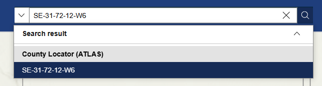
- Quarter-Section-Township-Range-W6
- SE-31-72-12-W6
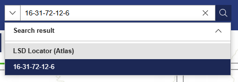
- OR LSD-Section-Township-Range-W6
- 16-31-72-12-6
D. Plan Block Lot
Use this format, in this order, separated by a semi colon “ ; ” Plan;Block;Lot
e.g. Plan 0224890 Block 1 Lot 1 would be 0224890;1;1
If only have a Plan number, then enter the Plan with semi colons following.
e.g. Plan 0224890 would be 0224890;;