Measure a feature on map
Measure Tool

The Measure Tool is at the top right corner of the map.
It allows the user to measure a distance or area.
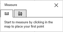
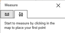
Measure along a line (distance). Measure an area.
Start measuring by left clicking a location in the map. To complete the measurement double-click.
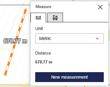
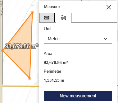
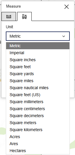
The Unit defaults to Metric. This can be changed in the dropdown list.