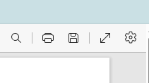
Print a map
Print Tool

The Print Tool creates a pdf (or a png image) that can be printed or saved as needed.
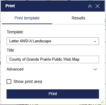
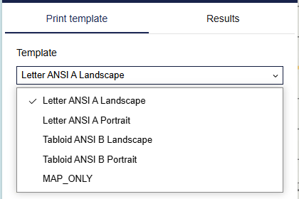
Choose between the available template sizes.
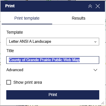
The user is able to enter any text in the Title field. Use the opportunity to choose a meaningful title.
The Advanced dropdown menu has various options.
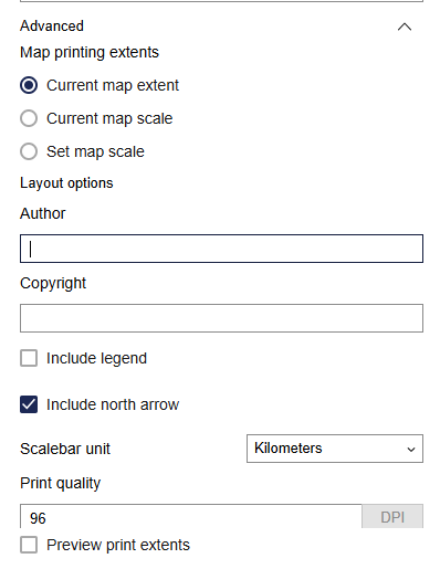
Map printing extents
- Current map extent
The print will try to keep the current map extent on the screen. Be aware if using an extra large monitor as the print behaviour is not predictable.
- Current map scale
The scale will print at the current map zoom level.
- Set map scale
The user is able to enter a specific scale for the print. The print will show the map based on the designated scale.
The user is able to enter any text in the Author and Copyright fields.
The Scalebar unit can be changed.
The files appear on the Results tab to view, print, and save.
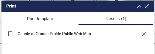
Print or save using your Internet browser.